My research develops digital twins, large-scale models, and AI tools for transportation systems, with safety as the thread that runs through all of it.
Research areas
1. Transportation digital twins and simulation-based safety evaluation
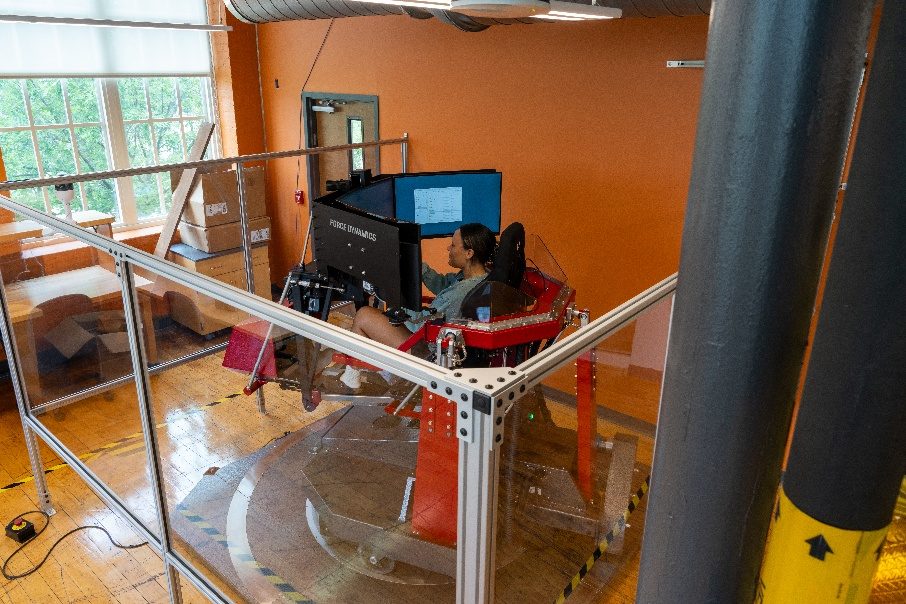
I build digital twins of transportation facilities from field data and use them to evaluate designs and operations before they are built or changed. I developed a stochastic calibration method that matches simulation output to the full distribution of observed behavior rather than to averages, so that models of military entry control facilities reproduce real operational variability. These models are coupled with a full-motion driving simulator and with reinforcement and imitation learning agents that generate adversarial scenarios a hand-written test plan would never produce. We now also build roadway digital twins automatically from LiDAR for virtual curve safety studies.
2. Large-scale transportation system modeling with sparse data
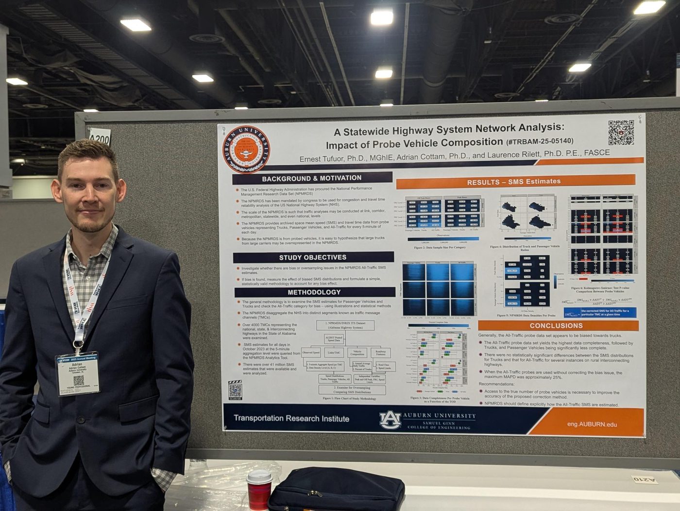
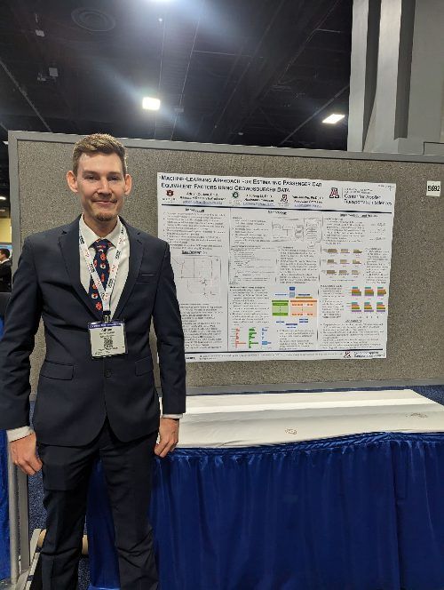
Agencies manage networks of thousands of miles with sensors on only a fraction of them. My VEMLAN framework imputes volumes for failed freeway sensors, my crowdsourced estimation work recovers statewide traffic volumes and passenger car equivalency factors where no sensors exist, and my team's statewide analysis of probe vehicle composition earned a 2025 TRB Best Overall Paper Award.
3. AI for transportation safety and operations
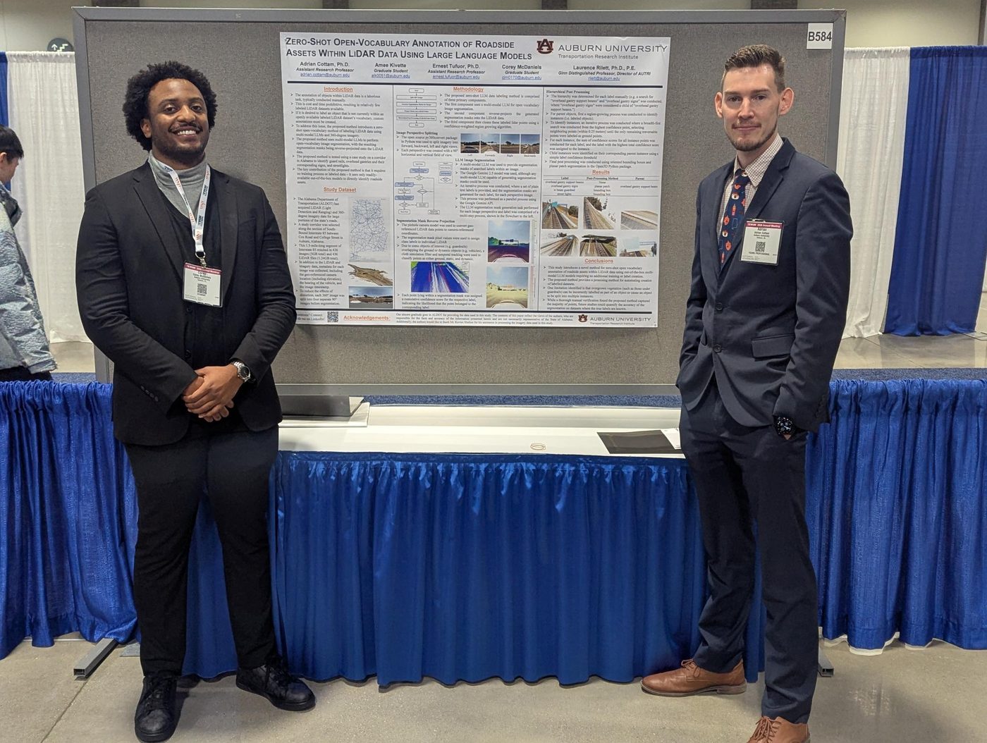
I apply large language models, reinforcement learning, and imitation learning where they change what engineers can do. My team demonstrated zero-shot, open-vocabulary annotation of roadside assets in LiDAR point clouds using large language models, and built an AI Safety Analyst that uses multimodal large language models to make data-driven safety assessment accessible to agencies without specialized staff.
Research projects
Click a project to see details.
Public Transportation Management and Rural Transit Assistance ProgramCurrent
Provides training, technical assistance, and technology transfer to public and rural transit agencies across Alabama, bringing research tools and data-driven practice to the people who run transit service day to day.
A Data-Driven Comprehensive Action Plan for Multimodal Campus Road SafetyCurrent
Develops a data-driven comprehensive safety action plan for a campus transportation network, addressing the safety of everyone who travels on it: pedestrians, bicyclists, micromobility riders, transit users, and drivers.
Research and Technology to Promote Safety of Commercial Motor Vehicles, Drivers, and Carriers (IDIQ)Current
Our AUTRI team was one of twelve teams selected nationally for this indefinite delivery, indefinite quantity contract, under which FMCSA can award task orders totaling up to $60 million through 2031 on commercial motor vehicle safety research.
Safety and Operation Analysis for Rectangular Rapid Flashing Beacon WarrantsCurrent
Analyzes the safety and operational effects of rectangular rapid flashing beacons (RRFBs) at pedestrian crossings to inform warrants for when and where agencies should install them.
Rail Center for Research Enhancing Short-line Transportation (RailCREST)Current
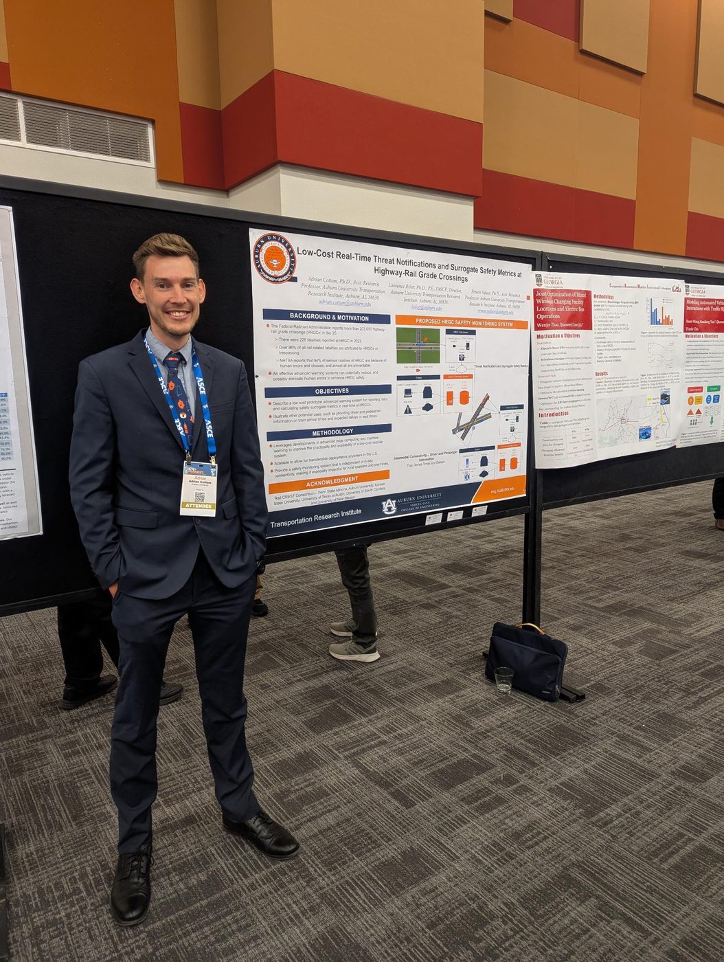
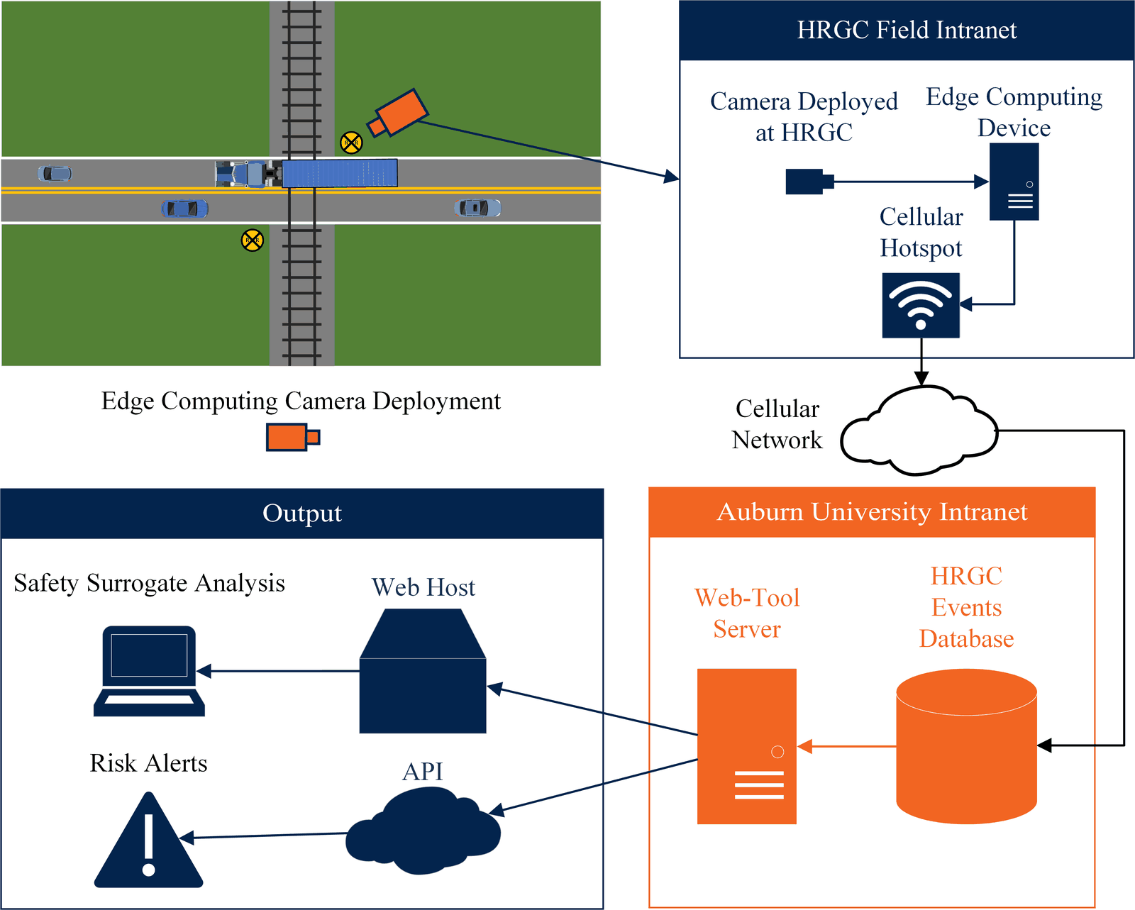
Highway-rail grade crossings are among the biggest safety risks on the rail network: the U.S. has more than 203,000 of them, and 228 fatal crossing incidents occurred in 2023. RailCREST is a Penn State–led center founded through an FRA CRISI grant that our team helped write. Within it, our team is building a low-cost, real-time safety monitor for these crossings. A solar-powered camera and edge computing device at the crossing use machine learning to detect vehicles and pedestrians stopped on the tracks, then send the data over cellular networks to a central server. The server alerts railway operators and enforcement when something is on the tracks, and a web tool reports safety surrogate metrics such as how many vehicles stop on the tracks each day.
Because each unit carries its own solar power and cellular connection, the modular system can be deployed at almost any crossing in the U.S., which makes it especially useful for rural crossings and short-line railroads.
Safe and Efficient Entry Control Points at Military InstallationsCurrent
Led research team to evaluate Entry Control Facilities (ECFs) using traffic simulation techniques. Developed ECF simulation models to analyze traffic flow into military installations, and performed calibration and validation to ensure models matched real-world operations. Built a driving simulation suite on a full-motion platform to study threat-vehicle scenarios with human, reinforcement learning, and imitation learning drivers.
Traffic Data Analytics Platform DevelopmentCompleted
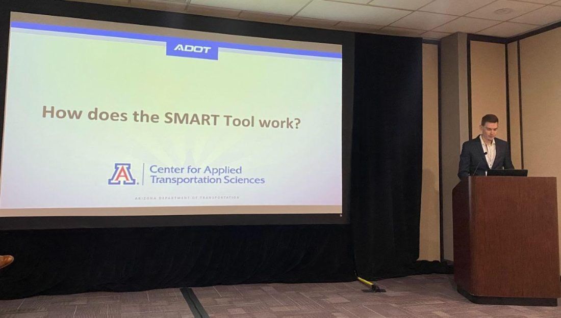
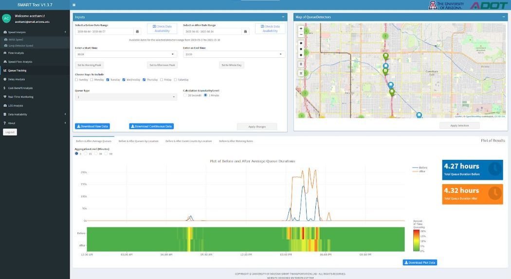
Developed the Statewide Mobility Analytics in Real Time (SMART) tool as the lead graduate research assistant of a joint project between the University of Arizona and the Arizona Department of Transportation (ADOT). Developed data collection software, databases for multi-sourced big data, and created the SMART tool dashboard.
Optimizing Traffic Signals Using Multi-Source DataCompleted
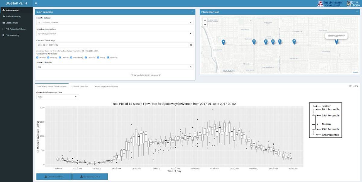
Supported a multi-phase project between the City of Tucson and the University of Arizona to optimize traffic signals in the Tucson area. Assisted with developing a data visualization dashboard (tucson.ua-star.org) to assist the city with evaluating roadway performance.
Awards and fellowships
- TRB Committee on Highway Traffic Monitoring (ACP70) Best Overall Paper Award, 2025
- TRB Freeway Operations Committee (ACP20) Young Professional / Student Best Paper Award, 2025 (student-led)
- NITC Dissertation Fellowship, 2023
- Dwight David Eisenhower Transportation Fellowship, 2021 – 2022
- GAANN Fellowship, 2019 – 2022
Professional service
- Member, TRB Standing Committee on Intelligent Transportation Systems (ACP15), 2025; Paper Review Coordinator, 2024 – 2025
- Friend of TRB committees on Artificial Intelligence and Advanced Computing Applications (AED50) and Information Systems and Technology (AED30)
- Reviewer for Transportation Research Record, Transportation Research Part A, Journal of Transportation Engineering, Part A, and the TRB Annual Meeting (2021 – 2023, 2026)
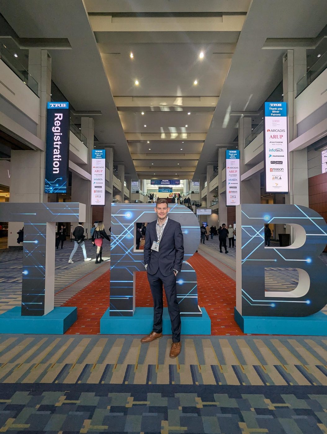
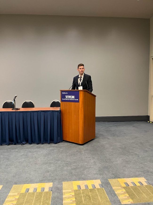
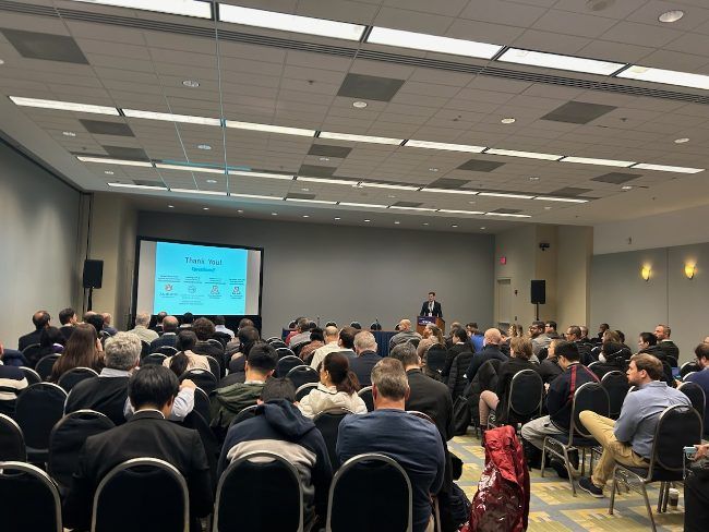
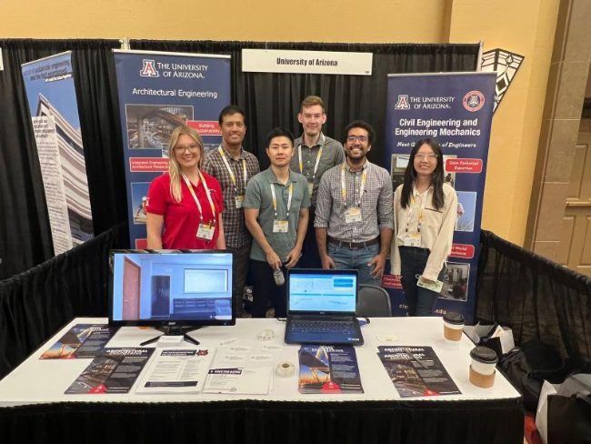
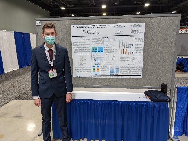
Conference photos